ENWIDE LiDAR Inertial Dataset
ENWIDE LiDAR Inertial Dataset
This page contains the data and information for the LiDAR Inertial dataset in environments with large sections of degenerate geometry that was presented in the ICRA 2024 publication COIN-LIO.
Data Access
➡️ ETH Research Collection (landing page & downloads): https://doi.org/10.3929/ethz-c-000787551
Dataset Description
The dataset was recorded using an Ouster OS0 128 (Rev D) LiDAR at 10 Hz with 1024×128 points per revolution. The IMU data is recorded at 100 Hz using the internal IMU of the LiDAR.
The ground-truth position was recorded from a Leica MS60 Total Station using a prism mounted on top of the LiDAR and time-synced accordingly.
The sensor was carried on a handheld stick. For each environment, one smooth (walking, slow motions) and one dynamic (running, aggressive motions) sequence is provided, indicated by “s” or “d” at the end of the filename:
Example: 2023-08-08-17-50-31-tunnel_d.bag
Sequences are provided as rosbags, and ground truth files are provided as CSV in TUM format.
Prism Extrinsics
IMU-to-prism extrinsics (CAD-derived) are available here: prism_imu_extrinsics.txt

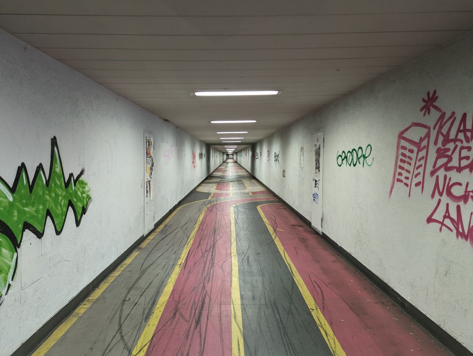
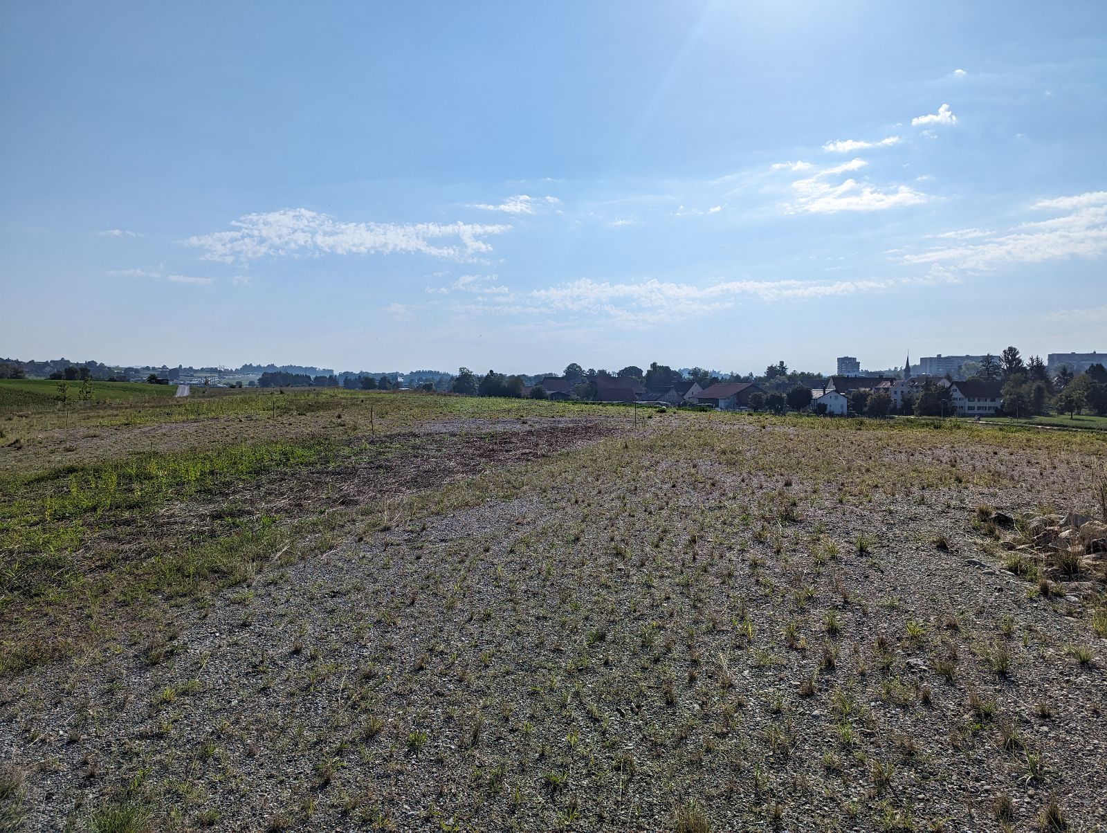
Environments
Exemplary images of each environment, along with manually annotated starting positions:
Intersection
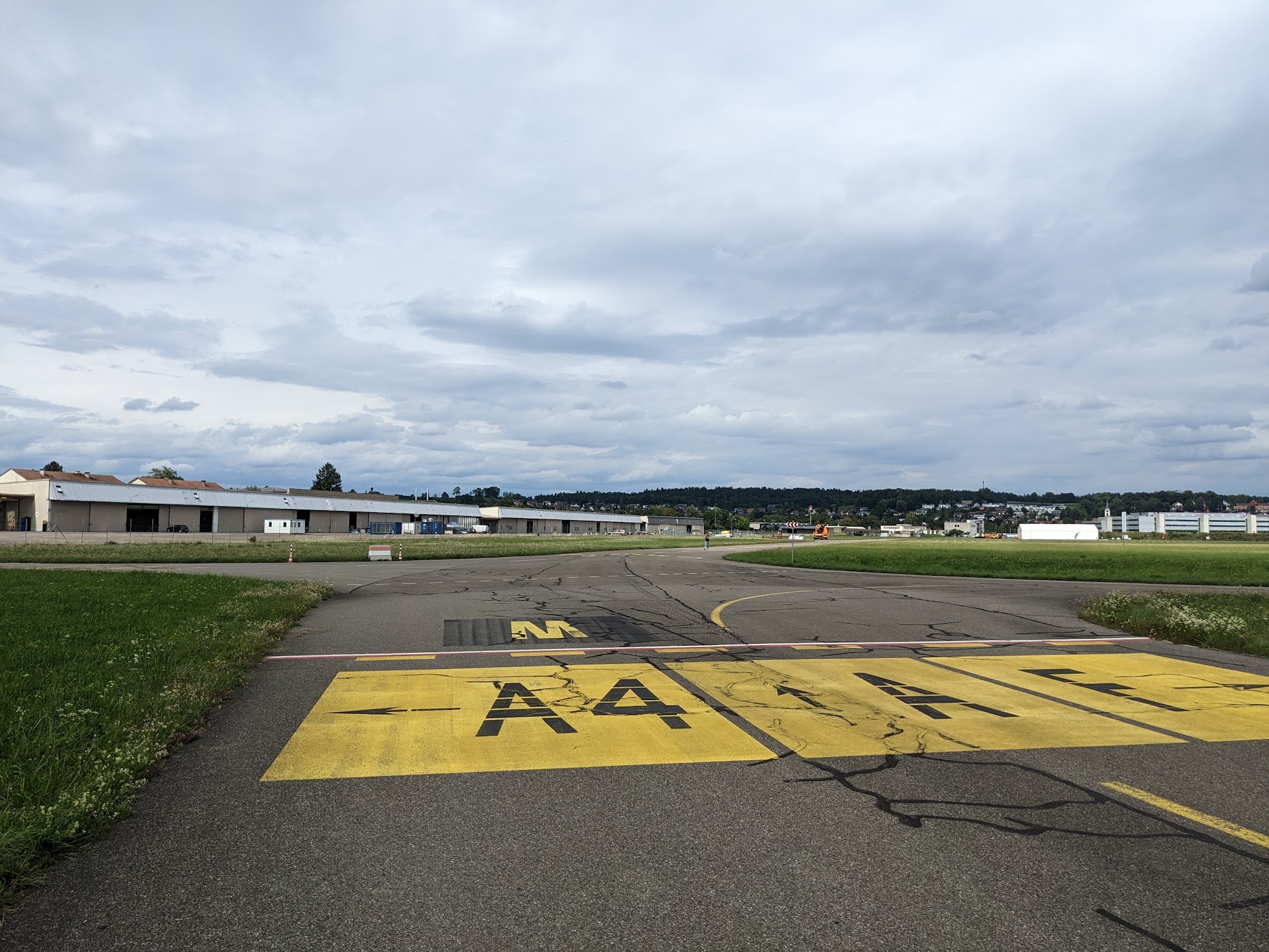
Runway

Field

Tunnel
Katzensee
Reference Paper
COIN-LIO: Complementary Intensity-Augmented LiDAR Inertial Odometry IEEE International Conference on Robotics and Automation (ICRA), 2024.
@inproceedings{pfreundschuh2024coin,
  title={Coin-lio: Complementary intensity-augmented lidar inertial odometry},
  author={Pfreundschuh, Patrick and Oleynikova, Helen and Cadena, Cesar and Siegwart, Roland and Andersson, Olov},
  booktitle={2024 IEEE International Conference on Robotics and Automation (ICRA)},
  pages={1730--1737},
  year={2024},
  organization={IEEE}
}
Tags: mapping, lidar, odometry, slam, degeneracy, outdoor, indoor